It was daybreak at Tūroa Base and we were surrounded by cloud. Dolly Parton’s peppy “Nine-to-five” as it pumped through the sound system, amping us for our expedition.
Our original objective had been to traverse Ruapehu, from Whakapapa to Tūroa, with two parties walking in each direction. As numbers firmed up and the forecast deteriorated, it became clear that the traverse wouldn’t be a realistic plan. Nonetheless, we resolved to do something.
Our new objective was an ascent of Tahurangi—or at least as far as conditions would allow. Nobody was unhappy about this. Nobody expected we’d get all the way. We just wanted to be out!
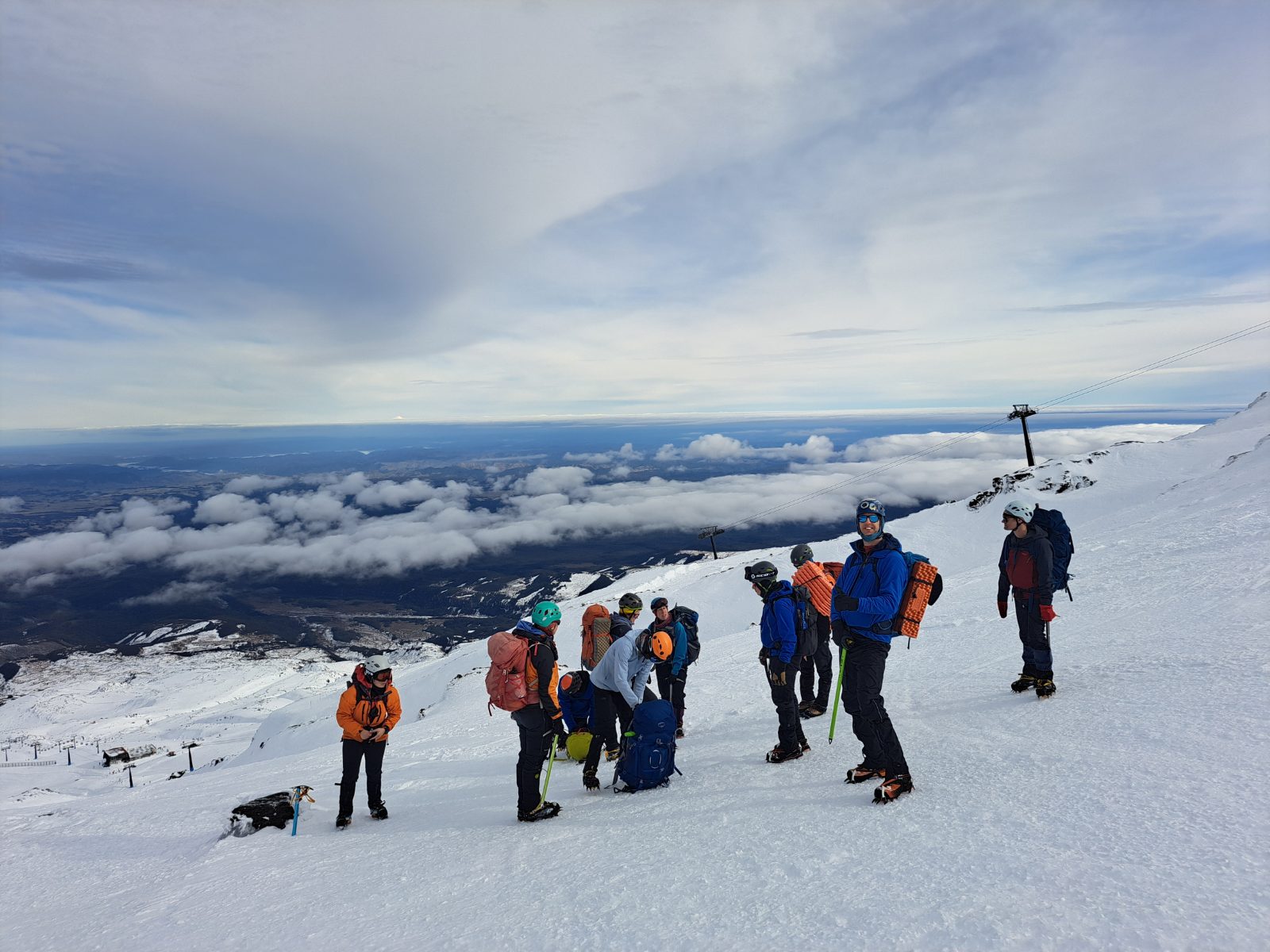
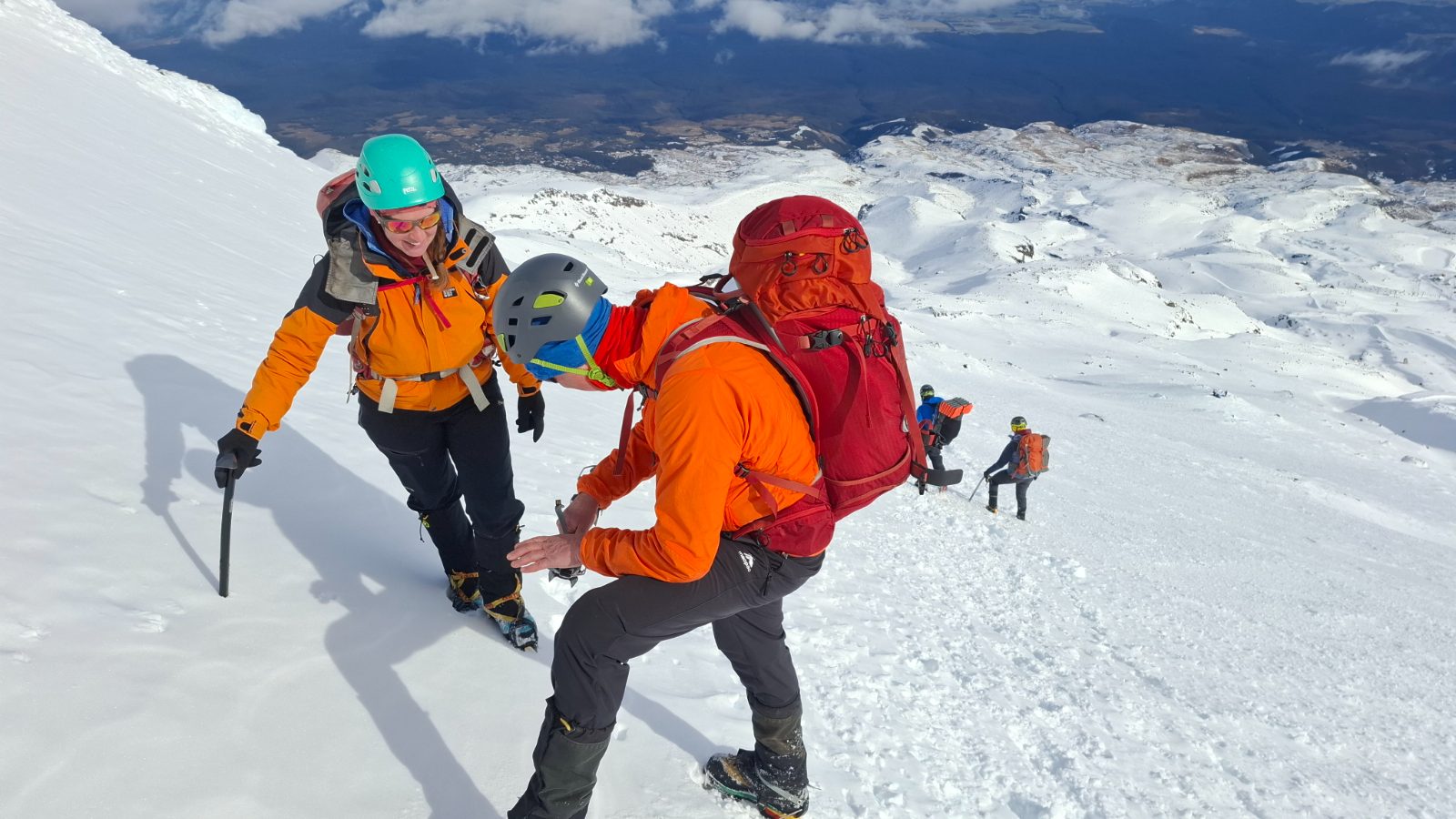
There were eleven of us and, for many, this ALP 1 trip was one the first in their NZAC journey. It took time to check boots, crampons, avalanche transceivers, and do any other checks necessary. Our leaders – Emily, Tiffany and Megan – understood this and did not rush us or apply pressure through these procedures. We set off only when ready, at 7.45am. It was about 90 minutes from Tūroa Base (1,620m) to Giant Café. First, we followed the wide 4WD track across the Mangawhero River to the Snowflake Café, then walked parallel to the Giant Chair to Giant Café (2,050m). Horrifyingly, much-needed espresso wasn’t yet available… but hey, at least the toilets were open. Even better, the clouds began parting and we got our first glimpses of Tahurangi above.
Immediately above the café we passed under a bluff at 2,150m and went southeast crossing a small gully and onto a spur. From here, we moved onto a gently concaving slope, with the spur and Skyline Ridge on each side and converging at a rocky pyramid, about 2,480m. Aim for this.
Our group split twice: first at around 2,500m and again at around 2,600m. Each split was deliberate, with a leader and co-leader staying with each team, and Tayla providing additional support.
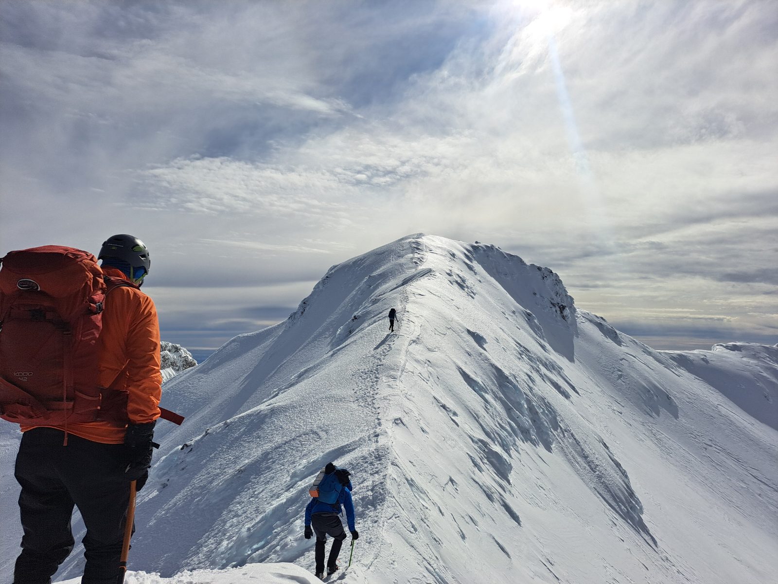
Those of us who continued up Tahurangi – at least another hour away – used Skyline Ridge as our handrail. This area is shown as “challenging” avalanche terrain (ATES map), and there are the expected gradients of >30% as you gain a false summit (2,740m). The runout on the ski field side of Skyline Ridge ridge is more forgiving than that of the Mangaehuehu Glacier.
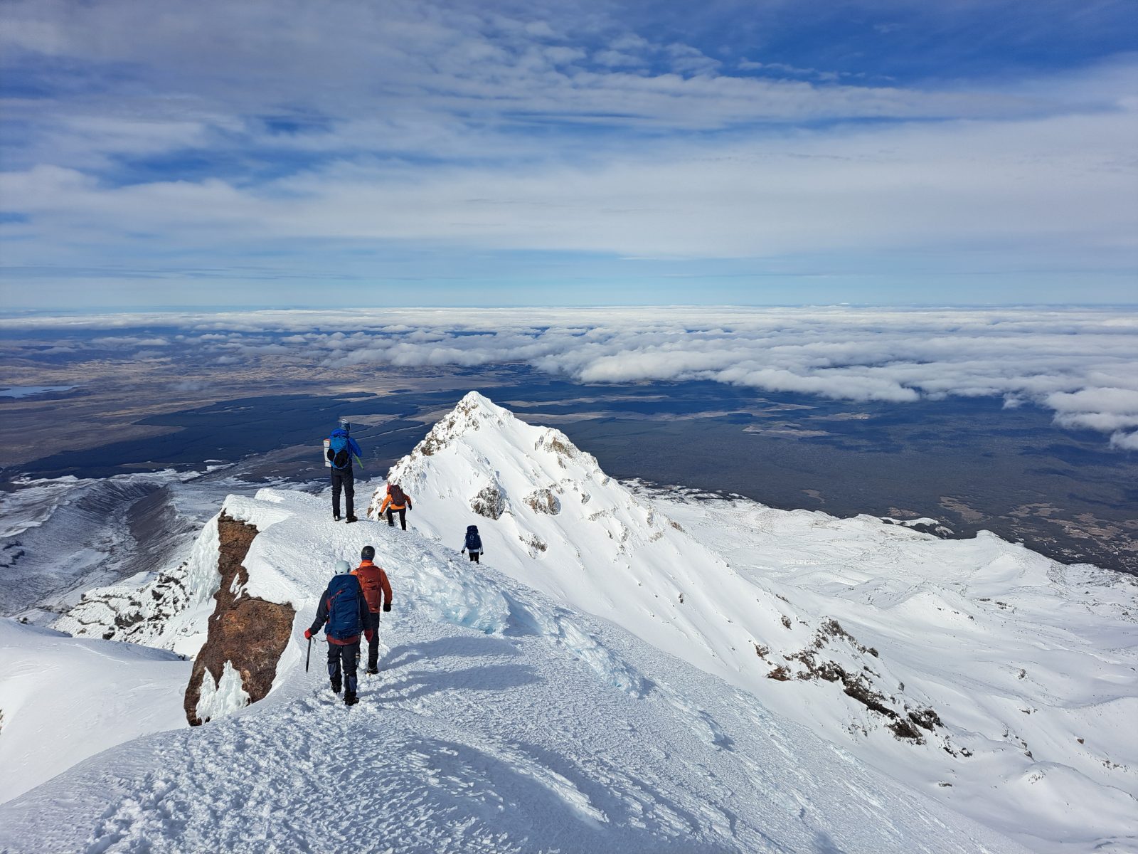
The false summit spectacularly falls away into the Wahianoa Gorge. A final, narrow ridge leads northwest to Tahurangi (2,797m), the highest point of Te Ika-a-Maui. It’s not until you’re on top that the true spectacle unfolds, Te Wai ā-Moe Crater Lake below, Taupōmoana and Tauhara beyond and, in the far distance, landmarks like Tarawera and Kaweka. We were on top for 10 minutes before leaving at 12.30pm. For iwi, the mountains of Tongariro are of enormous cultural and spiritual significance and the summits are tapu (sacred). It was a privilege to be there and I paid my respects, grateful to Ruapehu for permitting our presence that day. There’s snow and then there’s snow, and the sastrugi high on the Skyline Ridge was exquisite—I don’t think I’d ever seen such weird shapes. It also made for an exhausting descent to others in our group further below, as we retraced our steps to Giant Café. From there, we plodded back to Tūroa Base using Why Not and Home Run ski trails as our pathways, a route that helped avoid the majority of skiers and boarders. We arrived back at base at 4.30pm.
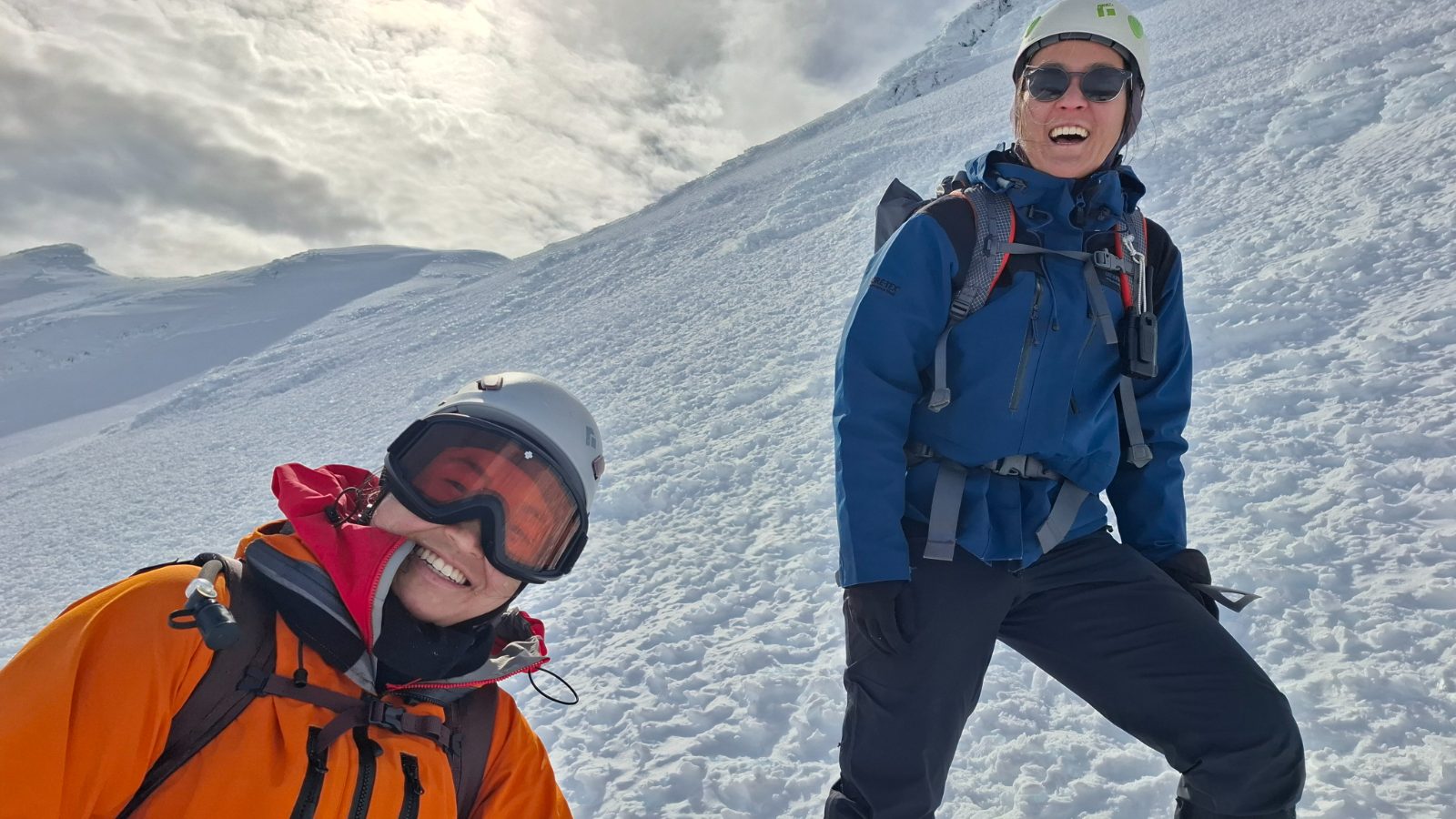
Emily, Tiff, Megan and Tayla shone in their ability to adapt and respond to help all participants realise their goals. An “alpine bouquet” also goes to Elizabeth, who had everything sorted and energetically whipped up the meanest vegetarian bolognaise and bean salad. It’s hard to imagine a more content table that evening—one that epitomised an enormously satisfying adventure.